15 Essential Tips For A Solo Road Adventure In Utah And Arizona
Utah and Arizona span thousands of miles of remote highways, diverse ecosystems, and protected lands. Driving solo through them requires more than just a full tank. Conditions can change rapidly, and resources are limited in many regions, which makes a well-informed plan essential. If you’re preparing for a solo road trip through these states, here are 15 practical tips to help ensure a safer, smoother journey.
Gas Stations Can Be Over 100 Miles Apart
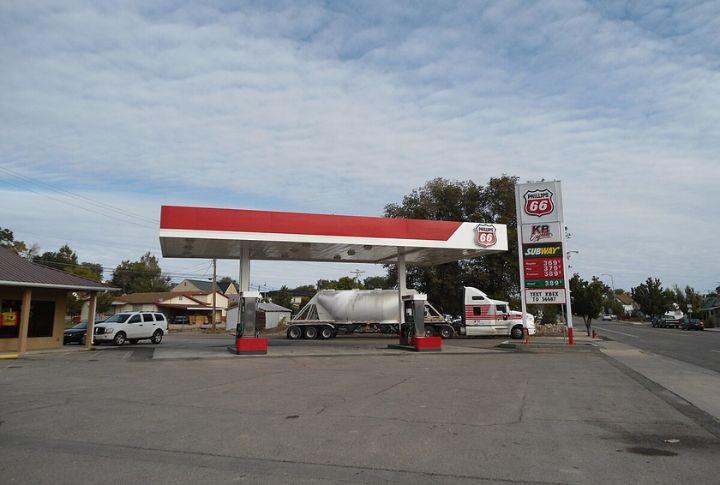
Fuel up whenever you can. The next gas station might be hours away in southern Utah and northern Arizona regions, especially along scenic byways like UT-95 or AZ-64. Hanksville to Mexican Hat, for example, has no services across 121 miles of remote terrain. So, carry a spare gas can if your tank is small.
Cell Signal Is Spotty Or Nonexistent

Expect long stretches without reception, especially in areas like Grand Staircase-Escalante or Monument Valley. Before heading out, download offline maps using apps like Google Maps or Gaia GPS—these tools are essential when road signs disappear into the desert. In more extreme situations, having an emergency location beacon can be a critical backup for safety.
Respect Tribal Lands

Traveling through Navajo, Hopi, or Ute land involves more than just permits. Some areas, like Canyon de Chelly, require Navajo guides for backcountry access. Others prohibit photography or climbing due to spiritual significance. Never take pottery shards or cross into ceremonial zones—respect for tribal sovereignty and traditions isn’t optional in these sacred spaces.
Flash Floods Can Be Deadly In Slot Canyons
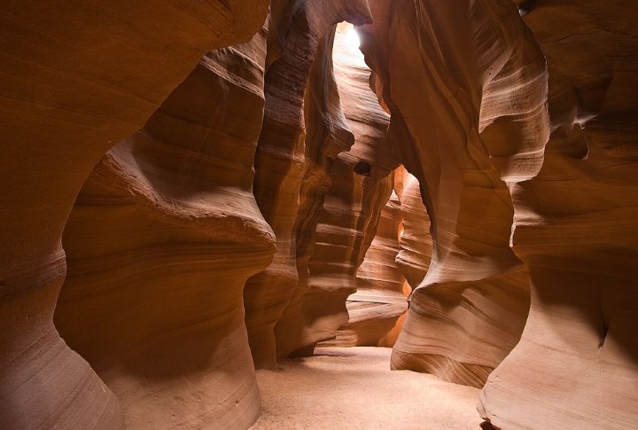
Clear skies above don’t guarantee safety below. Storms miles away can send walls of water rushing into slot canyons like Buckskin Gulch or Antelope Canyon. Always check weather reports across the region, not just locally. Rangers at Glen Canyon or Grand Staircase can advise which canyons are safe that day.
Don’t Rely On Fast Food Chains For Meals

In many towns, fast food simply doesn’t exist or closes early. Local diners and food trucks are your go-to. Try frybread tacos in Tuba City or green chili stew in Page. Keep a backup stash of shelf-stable food and water because some towns, like Jacob Lake, have only one seasonal eatery.
Park Entry Fees Add Up Quickly
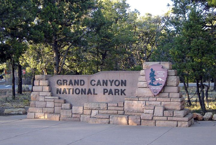
Every national park and monument charges an entrance fee—often $20 to $35. If you’re visiting multiple parks like Zion, Arches, Bryce Canyon, and the Grand Canyon, get the $80 America the Beautiful pass. It covers federal lands for a full year and pays for itself after visiting just three major sites.
Temperatures Swing Wildly Between Day And Night
Desert regions can go from 95°F midday to 40°F overnight. Bring layers, even in summer. Cotton kills in the cold, so pack a fleece or insulated jacket. In places like Capitol Reef and Petrified Forest, sunrise hikes might require gloves, while afternoons will demand full sun protection and hydration gear.
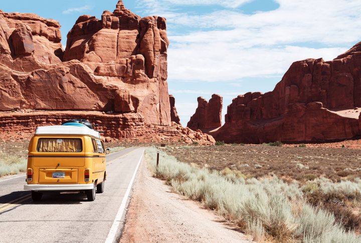
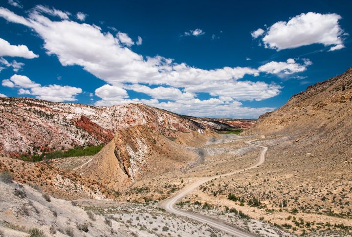
Vehicle Choice Matters More Than You’d Think
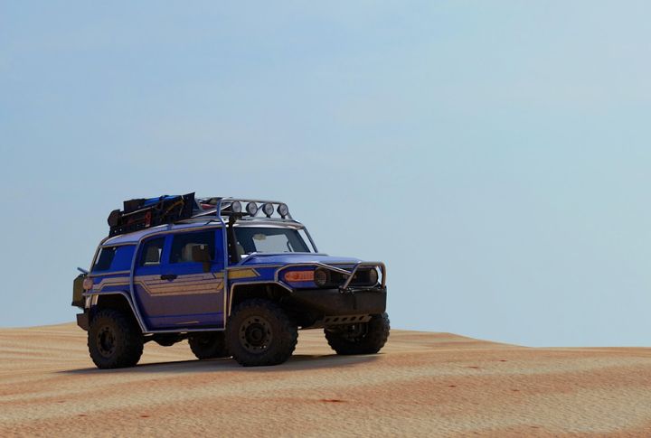
High-clearance vehicles open up roads that sedans can’t handle. Many iconic routes, like the House Rock Valley Road, are unpaved and often impassable after rain. AWD or 4WD is ideal, especially if you plan to boondock or explore BLM land. Remember that towing services are rare and often expensive in remote areas.
Water Isn’t Always Readily Available

You can’t depend on rest stops or gas stations to refill bottles. Carry at least a gallon of water per day, per person. Refill opportunities are limited between towns like Escalante and Big Water. Some visitors bring collapsible jugs and refill at visitor centers or trailheads with potable spigots.
Stargazing Is Off-The-Charts Incredible
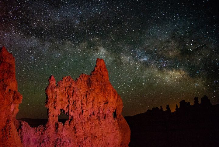
Utah and Arizona host some of the darkest skies in the U.S., with numerous International Dark Sky Parks. Bryce Canyon, Natural Bridges, and Grand Canyon-Parashant are all prime viewing spots. New moon nights are best; pack binoculars and a headlamp with a red light setting to avoid spoiling your night vision.
Navigation Isn’t Always Straightforward
Even marked highways can suddenly turn to gravel or become impassable during storms. Don’t unquestioningly trust GPS: it may route you down unmaintained roads like Cottonwood Canyon Road or Smoky Mountain Road. Carry a printed atlas, such as the Benchmark Utah or Arizona map books, for backup in remote regions.
Campgrounds Fill Fast, Especially In Spring And Fall
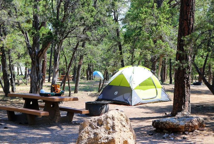
Popular sites like Mather Campground in the Grand Canyon often book out months ahead. If you’re winging it, look for BLM lands near Kanab or Escalante for free dispersed camping. Always follow Leave No Trace practices because rangers do patrol, even in backcountry zones.
Wildlife Encounters Aren’t Uncommon
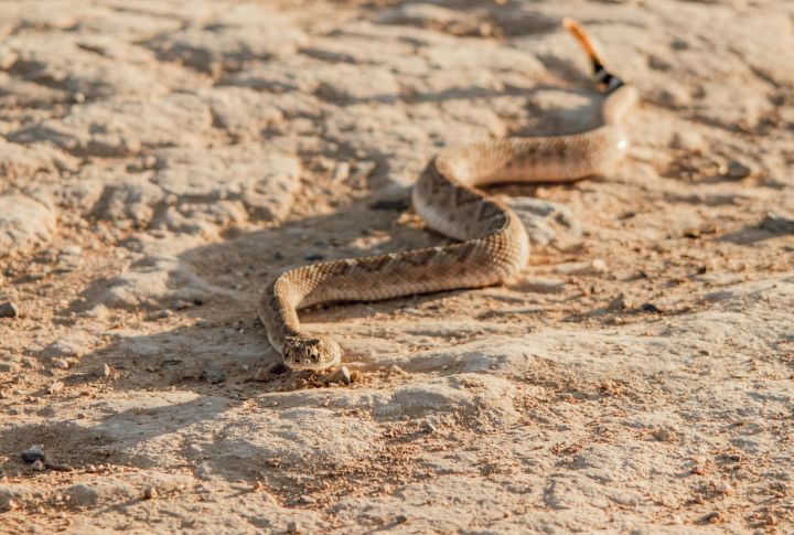
Solo travelers should know how to deal with desert wildlife. Rattlesnakes and even free-range bison or elk may cross your path. Shake out shoes in the morning and never reach into rock crevices. Remember, mule deer often dart across roads at dusk without warning on the Kaibab Plateau near Jacob Lake.
Some Roads Close Entirely In Winter
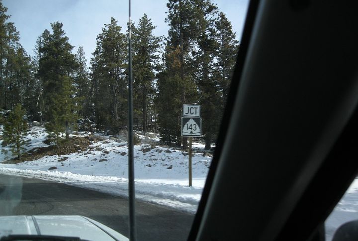
Check with state DOT websites for real-time closures before heading out. High-elevation passes like UT-143 near Cedar Breaks or parts of AZ-67 toward the North Rim close seasonally due to snow. Even in spring, black ice and fallen rocks can make early-morning driving treacherous at higher altitudes.
Wind Can Be A Serious Hazard On Scenic Routes
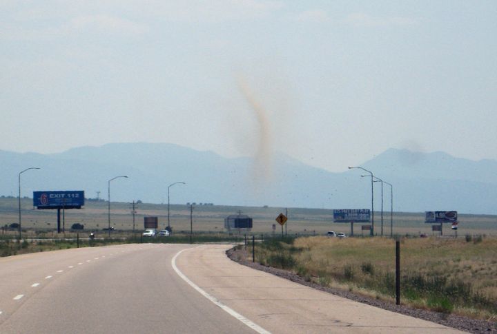
High winds can do more than just annoy you—they can flip high-profile vehicles or reduce visibility to near zero during dust storms. Arizona’s I-40 near Holbrook and Utah’s open plateaus near Bluff are particularly known for sudden gusts. Always check wind advisories before hitting the road, especially if you’re driving a van, SUV, or a vehicle with a rooftop tent.