15 Handy Apps To Locate Free Campsites Anywhere

Planning a spontaneous trip sounds fun until the campsite is full and daylight’s fading. Campers everywhere know the struggle—unmarked roads, missing hookups, no place to park. Luckily, a few smart apps exist to solve those headaches. Here’s a list of 15 camping tools that simplify the search and keep your next stop hassle-free.
Outly

Outly is designed for campers who want clarity when heading off-grid. It highlights public lands managed by BLM, USFS, state agencies, and tribal governments, with clearly marked boundaries and detailed road overlays. The app also functions without the internet, making it a dependable resource for dispersed camping in remote areas.
OnX Offroad
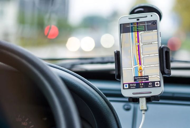
Boondockers who thrive on dirt tracks swear by OnX Offroad. It covers 650,000+ trail miles with MVUM overlays and turn-by-turn directions through Android Auto or Apple CarPlay. Trail reports feature seasonal updates and user photos. For in-depth planning, Elite members get access to land boundaries and ownership info.
iOverlander
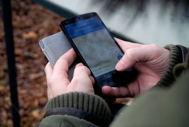
Road warriors trust iOverlander for its no-frills, ultra-detailed listings. Beyond wild camps, it includes GPS-tagged places like mechanics or border crossings with propane nearby, all downloadable for use without a connection. Instead of stars, reviews come in the form of real traveler notes and photos. Even advertiser content gets moderated by the community.
VanlifeLocation
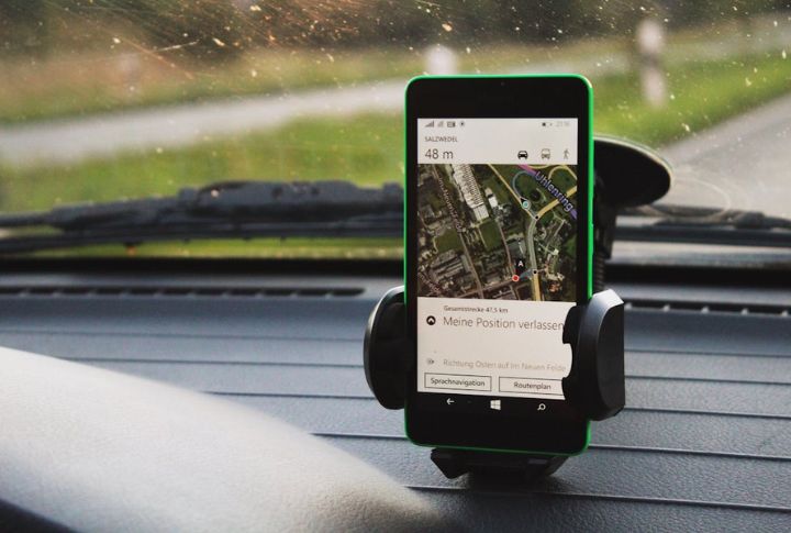
This one’s for anyone who prefers waking up near a quiet creek over squeezing into a paved RV lot. VanlifeLocation favors scenic overnight spots far from crowds. You can update listings as you go, track saved places in your dashboard, and—through its website—book private pitches with serious views.
Avenza Maps
No signal? No problem. Avenza lets you import custom maps and access georeferenced ones, including USGS topos and MVUMs. Photo pins and custom sketches go directly onto maps, while geofencing alerts trigger as boundaries are crossed. The design supports thorough logging and reliable navigation in remote areas.
Campendium
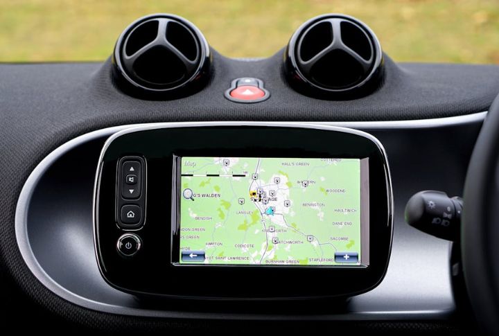
Finding the right campsite gets easier with Campendium, especially for digital nomads. The app highlights carrier signal reports, pet policies, and rig access, all filtered to your setup. Traveler reviews add real insight, making it a go-to for staying connected in truly remote places.
Recreation.Gov
Think of Recreation.Gov as your digital entryway to national forests and BLM lands. It displays real-time availability, site features, pass options, and permit details—all in one place. In addition to booking, reservations happen in-app, with QR check-ins available at select sites and suggestions that reflect your travel history.
FreeRoam
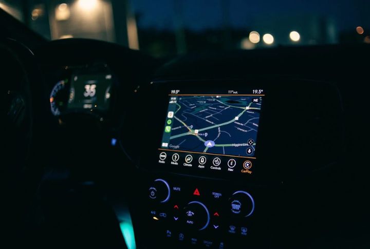
Built by a nonprofit, FreeRoam combines BLM and USFS overlays with mobile coverage maps by provider. Its filters go deep, letting you sort based on signal strength or overall safety and density. It also includes a trip planner that maps out potential boondocking stops and a live chat where users can swap tips or coordinate meetups.
WikiCamps USA

If you like having everything offline, WikiCamps USA is a one-time purchase packed with 24,000 site listings. It includes dump stations, water taps, and extras like a built-in pointer tool to align satellite dishes or locate nearby hostels. You also get a camping checklist and custom map pins to organize your route.
Boondocking

For simplicity that works, Boondocking keeps it lean. This app highlights free overnight spots like trailheads and dispersed campsites on public lands. You’ll get GPS coordinates and quick tips submitted by other users—no clutter—just the essentials for parking and sleeping off the grid.
US Public Lands
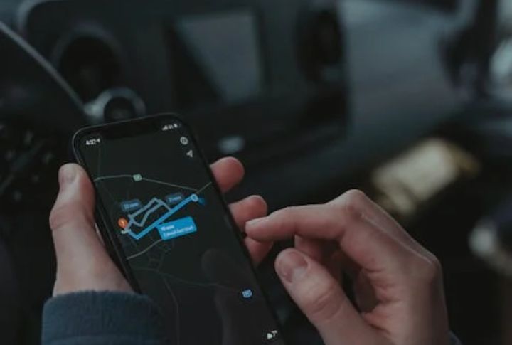
This app makes the lines clear when you’re trying to stay compliant. US Public Lands displays color-coded overlays for BLM, USFS, NPS, and more—all viewable without a network connection. Use satellite view to scout approved spots, and tap links to agency sites for permits and land-use rules before you roll in.
AllStays Camp & RV (iOS only)
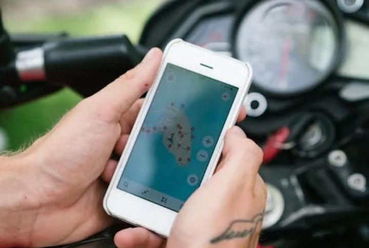
AllStays is a thorough resource for serious planners. It filters over 30 features, from propane access to 50-amp hookups, plus essential stops in between. You’ll also see low-clearance bridges, steep grades, and rest areas allowing overnight stays. Coverage includes Elks lodges and truck stops, with weather forecasts tied to your GPS location.
Park4Night
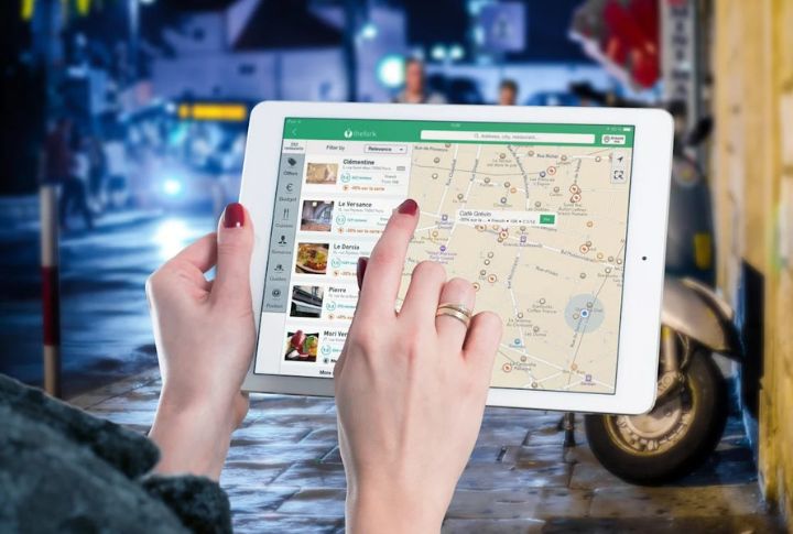
With over 5 million downloads and 44,000 reviews, Park4Night has a loyal crowd. It focuses on wild camping and picnic spots throughout the US and Europe. The premium version unlocks offline access and better filters, while community updates help keep nature-friendly travel sustainable.
Gaia GPS
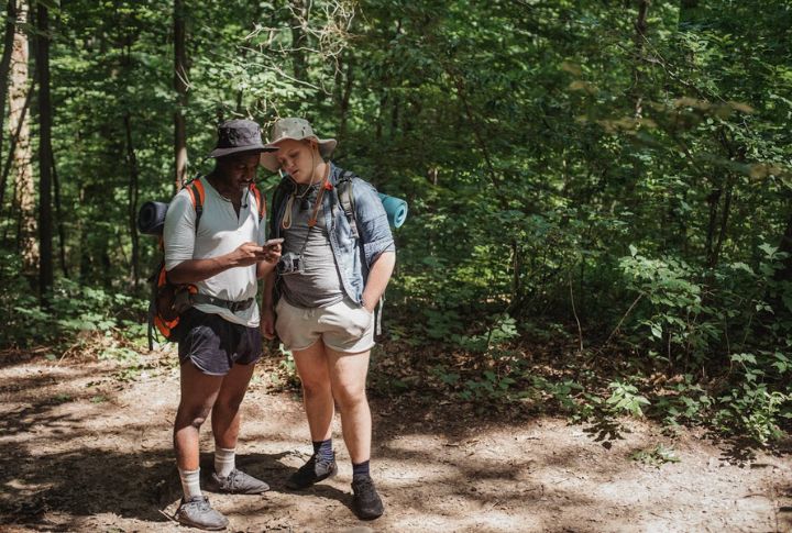
For those who like to prepare before stepping off the beaten path, Gaia GPS delivers depth. With more than 300 map layers—ranging from USFS to NatGeo—and slope-angle shading, the terrain comes into focus. Its snap-to-trail routing tracks elevation and distance. Moreover, Snap-to-trail routing and MVUM overlays reveal legally dispersed camping zones and shifting conditions.
The Dyrt

Dyrt simplifies your next getaway by listing over 44,000 public and private campgrounds across the country, all backed by more than a million user reviews. When a site is full, Dyrt Alerts notify you the moment it reopens. With PRO, you also get downloadable coverage of 50,000+ USFS and BLM sites, plus campground discounts reaching up to 40%.

